Untravel Essential #1: Street View
- StreetViewVagabond
- May 2, 2021
- 5 min read


I doubt I will ever go to Dongguan, China. I am sure that it would be a great destination if I were traveling near there. I mean, it's easy to find something to do in a place the size of New York City. But I still doubt I'll make it.
"There are dozens of cities in China that are over 2 million people that you've never heard of!" My wife made this observation returning from a business trip from to China and it refuted the adage that the world is small. The world's smallness comes from our daily lives, limited social networks, commonly traveled routes and the technology that connects us all. But the world is in fact big, and this is an exciting realization to a travel enthusiast.

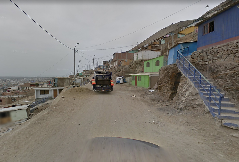
When I discovered the vastness of Google's Street View, I felt like I unlocked limitless potential to explore the world that didn't make it onto my bucket list. I checked out dense outer suburbs of Tokyo, country roads in South Africa, surfside communities of Australia and even towns in eastern Siberia. It was interesting to catch everyday people around the world running their errands.
"Sometimes I just like to get on a tram and travel to the end of the line and then just explore wherever I am." I overheard a hip traveler espouse this practice while we were sitting in a hostel lounge in Prague in 1993. At first I thought: "Yeah, that's cool." We were all desperately determined to travel like locals and to fit in. Years later, I laughed at the absurdity of someone traveling halfway around the world to Washington, D.C. to hang out in a parking garage at the Springfield Mall. It does allow you to see what local life is like, but is that really what you want to do while traveling?
The mundaneness of life on display through Street View is an invitation to find the fascinating. Everyone has a story that is an amalgamation of their personal quirks, lived history and shared culture. On the surface, Street View introduced me to the woman holding her purse at the bus stop in Bratsk, Russia (pictured above). If I were there, and could speak Russian, I may ask her where she is going but I am left to do that visually using Street View.
I dig deeper on Street View by checking out photo spheres, buildings, parks, car models, the local fashion and most importantly the signage. After a 5 minute search around Bratsk I was able to find a birthday party at the Comfort Café and potentially an outdoor ice skating rink while I was standing on a tank. The three photos below give some insight into life in Bratsk but also generate a lot more questions. Bratsk is no longer a point on a map. I feel I have some sense of life there and my view of the world has expanded a little more.


Google Street View evolved from an experiment that Stanford professor Mark Levoy and his student did with turning video into long photos frame by frame. They were able to make a photo that could encompass an entire street and the concept was interesting to Google founder Larry Page. The next step was to strap a camera atop Page's car, capture shots of San Francisco, and cross reference them with street data. There would be many technological hurdles that would need to be overcome to make Street View what it is today, but its launch on May 25, 2007 would later spur improvements in mapmaking and Google's core product: search.
The camera that adorns the Google Street View car (now also found on backpacks, snow mobiles, bikes, camels etc.) is equipped with lasers that scan buildings in order to measure distances and accurately pinpoint locations. Billions of Street View photos and measurements are combined with satellite imagery and publicly available data sets to stitch together a very accurate and interactive image of the world around you through a process called photogrammetry. This visual jigsaw puzzle is further enhanced through text recognition systems that document posted addresses, phone numbers and hours of operations for businesses, thus improving the accuracy of maps and search results.
Privacy advocates immediately took issue with the practice of publicly posting every known address and image of pedestrians to a global audience. Google developed AI to blur faces and license plates, and complied with a demand from German authorities to allow citizens to request that their own homes be blurred (close to 250,000 Germans requested it!). Google has since developed policies about appropriate content and a mechanism to report violations and request further blurring of images. To date, some countries have completely banned Street View (like India), curtailed their access (like Germany) and have supported a competitor (such as Yandex in Belarus) but Street View continues and has now logged over 10 million miles and is present in 87 countries. Even with some privacy concerns and responsive protections, the benefits are substantial.
Maps can be an economic driver for communities allowing people to discover new restaurants, attractions, businesses and recreation options. They also can be the basis of new businesses. "Digital maps have not only enabled access to real-time transportation and traffic information, but have also supported location-based innovations such as ridesharing apps, real estate portals, and local search engines..."(The Economics of Maps). These innovations are not limited to commercial enterprises.
Hobbyists have developed some fun applications as well!
Street View Fun is a great site that posts funny photos of glitches in stitching photos together or random events like burning cars, people riding on bike handlebars and lewd responses to the roving cameras. 9 Eyes is very similar yet more stripped down, just posting interesting photos without text.
Life Hacker lists 7 great ways to use Street View like finding settings for novels, scouting out parking areas and checking out real estate locations before venturing out.
GEOGUESSR is a fantastic game that drops you into a random spot around the world and awards points for how close your guess is to the drop location. You can play against the clock or against others in Battle Royale which eliminates competitors each round until there is one person left (see my victory screen shot below!). There are now hobbyists who stream their GEOGUESSR gameplay on Twitch as well as an education version for teachers.

Streetview Vagabond is my blog in which I chronicle my "untravels" of using Google Street View to explore places, learn about the culture and history and interview people like Farid Monti of Tierra del Fuego or Amy Hale of Menlo, Iowa. "The pictures are grainy and everyone's face is blurry but the memories last a lifetime!"
Street View is an essential element to my untravel adventures. In fact, Streetview Vagabond would not exist without it which is why it is the first essential component to this project. When my interview with Farid Monti was coming to a close and we were saying our goodbyes, he stated: "...you have my word that one day we will meet in person." It's a pretty bold statement to essentially a total stranger who contacted him out of the blue. But we were able to build a friendship with a shared affinity for exploring and meeting new people. Unbeknownst to us, we have come to embody the purpose of Street View. The engineering director of Google Maps, Luc Vincent was interviewed by TechCrunch as to why they started Street View. "His answer, straight-faced, serious and yet wide-eyed and empathetic…”We wanted to connect people.”


Comments